Oct 10, 2017 | Case Studies, Digitise, News
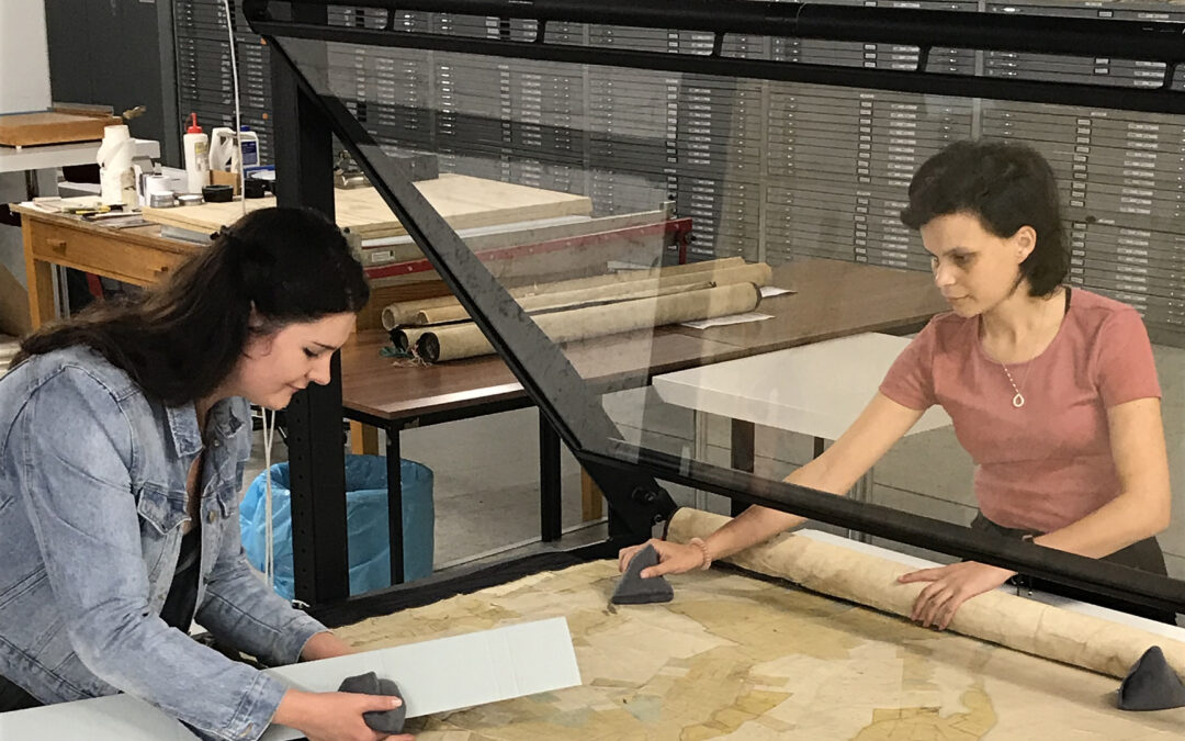
NZMS has been working with Archives NZ, Te Rūnanga o Ngāi Tahu, Christchurch City Libraries, Environment Canterbury and Land Information New Zealand (LINZ) to digitise some of the earliest survey plans of the Canterbury Land District, known as the ‘Black Maps’. The...

Aug 16, 2017 | Case Studies, Digitise, News
NZMS Auckland has recently worked with a large collection of glass plate and film negatives donated to Auckland Libraries in 2015 by The NZ Herald. The approximately 16,000 negatives were found in the original New Zealand Herald offices in Albert Street. Auckland...

Aug 16, 2017 | Case Studies, Microfilm, News
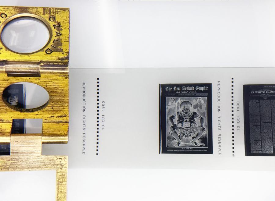
Recent publicity about the discovery of Katherine Mansfield’s previously unknown first work “His Little Friend” in the 13 October 1900 issue of New Zealand Graphic and Ladies Journal caused excitement at NZMS. Managing Director Andy Fenton recalled microfilming the...

Jul 3, 2017 | Case Studies, Digitise, News
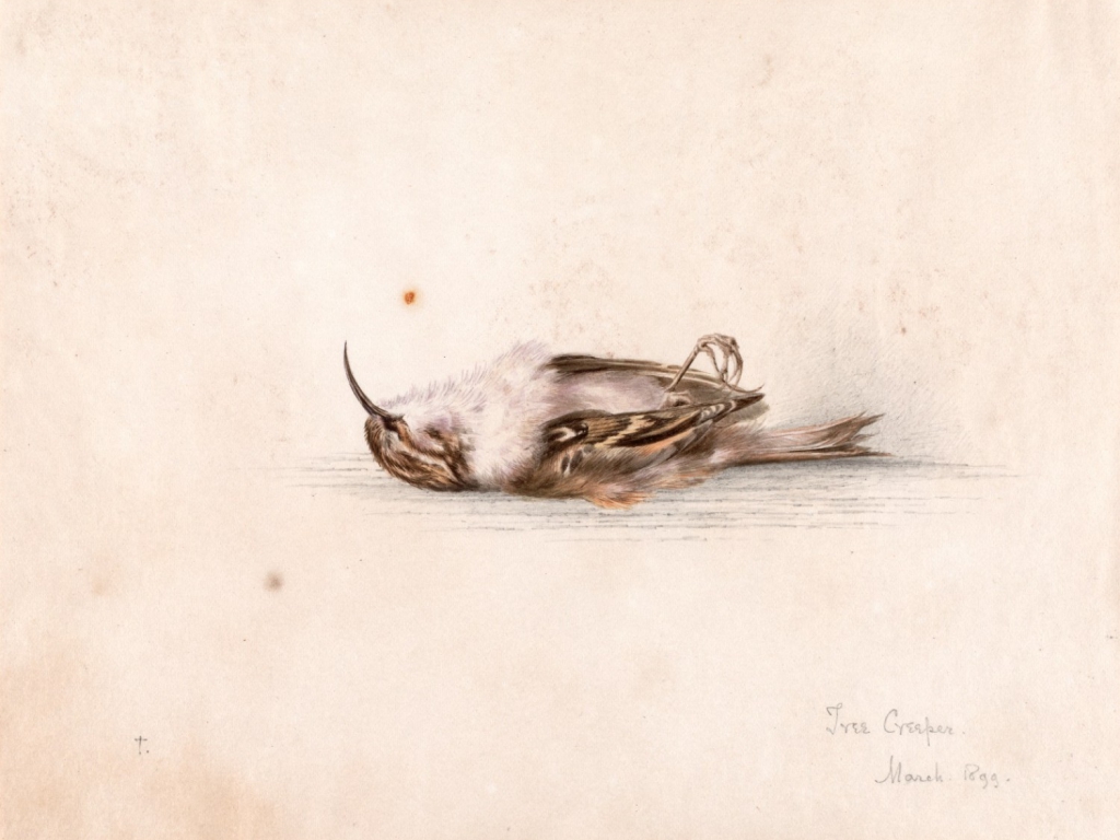
Here at NZMS we are privileged and proud to work with artefacts of both national and international significance. We recently had the pleasure of digitising a newly discovered diary of George Murray Levick, a member of Scott’s 1910-1913 expedition, for the Antarctic...

Dec 1, 2015 | Case Studies, Community Engagement, Recollect
Upper Hutt City Library is the city’s primary community centre for living, learning, and leisure. It seeks to engage, inspire, and inform people, and plays a key role in the development of a strong local community. The Library’s Community Archive makes a significant...

May 27, 2015 | Case Studies, Community Engagement, Recollect
Heather Newby started a Facebook group to share her photos and memories of growing up on NZ’s West Coast. The idea of a group that allowed Coasters who were “scattered, and had lost touch with each other” to reconnect and share interesting photos, articles, anecdotes...


